Tutela Heights Slope Stabilization
Permanent Road Closure Starting September 16, 2025
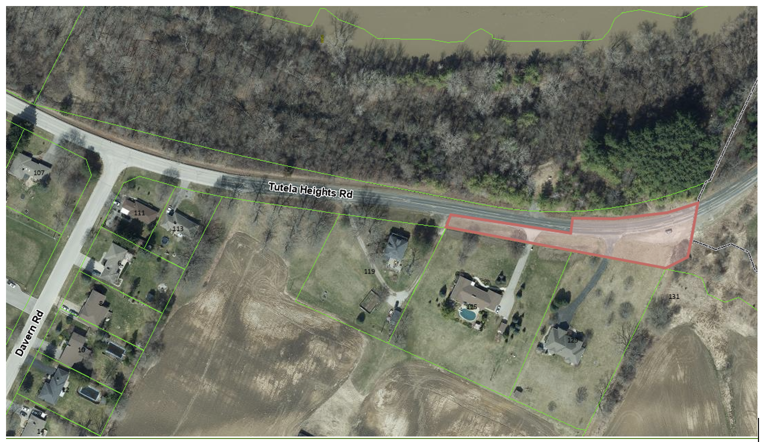
Effective September 16, 2025, Tutela Heights Road will be permanently closed from the City of Brantford – County of Brant boundary to approximately 475m eastward.
The City of Brantford will implement temporary closure measures at the City/County boundary until a permanent closure can be completed later in 2025. The closed section of Tutela Heights Road will remain accessible to emergency services.
Background
The area known as Tutela Heights joined the City of Brantford in January 2017 as part of the City’s boundary expansion agreement with the County of Brant.
The County of Brant, prior to the City’s boundary expansion, initiated a Municipal Class Environmental Assessment (MCEA) to review the slope stability along a section of Tutela Heights Road. The section of slope along Tutela Heights Road being studied extends easterly from the Bell Homestead Historical Site for approximately one kilometre (1km).
The preferred option from the Municipal Class Environmental Assessment (MCEA), developed in collaboration with the County of Brant, was to ultimately close Tutela Heights Road. This option also included drainage mitigation measures and ongoing slope monitoring. For more information, please refer to the County of Brant’s website.
Due to the instability of the slope on Tutela Heights Road, the City of Brantford and the County of Brant are taking a proactive approach for the safety of the public and will be closing Tutela Heights Road.
Proposed Works
Tutela Heights Road is proposed to be closed at the City boundary. The planned work includes constructing a cul-de-sac with a rural cross-section at the City limits and implementing stormwater drainage measures to redirect runoff away from the slope to the unopened right-of-way. The closed section of Tutela Heights Road will remain accessible to emergency services.
Project Status
The design for the cul-de- sac is being finalized and construction of the permanent road closure is expected to begin later in 2025.
Study and Information
- Municipal Class Environmental Assessment
- Road Closure Management Plan
- Slope Stability Monitoring Plan
The Project Team
If you have any questions about this project, please contact one of the following staff:
Adam Quibell, P.Eng.
Project Specialist – Design, Engineering Services
Office: (519) 759-4150 Ext: 5266
aquibell@brantford.ca
Steven Di Pietro, MBA, P. Eng, PMP
Manager of Design, Engineering Services
sdipietro@brantford.ca
Subscribe to receive updates from the City
Stay up-to-date on the city’s activities, events, programs and operations by subscribing to our newsroom.


